UN
4 The Fairway
£ 370,000
Description
We don't have a Description for this property.
- Bedrooms
- 4
- Bathrooms
- 0
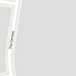
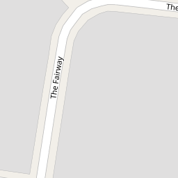
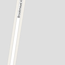
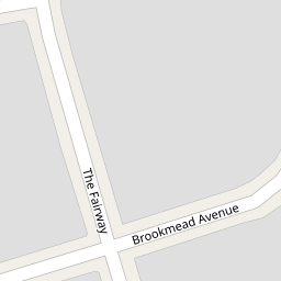

Leaflet © OpenStreetMap contributors
The heatmap indicates the level of crime in the area. The color of the heatmap indicates the crime severity and recency.
Metrics Year-on-Year
- Average area value
- 808,124.00 £Increased by 1.16 %
- Average area rental value
- 1,984.00 £/moDecreased by 11.31 %
- Est rental Yield
- 2.95 %Decreased by 12.20 %
- Crime Rate
- 3.00 %Unchanged by 0.00 %
from 798,831.00 £
from 2,237.00 £/mo
from 3.36 %
from 3.00 %
Nearby Schools
| Name | Type | Ofsted | Distance |
|---|---|---|---|
| Bromley High School | Other Independent School | 0.89 KM | |
| Southborough Primary School | Foundation School | Good | 0.97 KM |
| Bickley Park School | Other Independent School | 1.22 KM | |
| Trinity Church Of England Primary School | Academy Sponsor Led | Good | 1.32 KM |
| Tlc The Learning Centre | Other Independent Special School | Good | 1.32 KM |
Images
Nearby Streets
| Name | Average Price | Average Sqft | Distance |
|---|---|---|---|
| Link Way | £ 225,000 | 0 | 0.00 KM |
| Lindsey Close | £ 1,075,000 | 0 | 0.00 KM |
| Thorn Close | £ 0 | 0 | 0.00 KM |
| St. Michael's Close | £ 800,000 | 0 | 0.00 KM |
| St George's Road West | £ 0 | 0 | 0.00 KM |
Nearby Transport
| Name | NLC | TLC | Distance |
|---|---|---|---|
| Bickley | 5063 | BKL | 1.04 KM |
| Chislehurst | 5099 | CIT | 1.74 KM |
| Petts Wood | 5123 | PET | 2.76 KM |
| Elmstead Woods | 5135 | ESD | 2.87 KM |
| Bromley South | 5064 | BMS | 3.69 KM |
Nearby Listings
| Address | Price | Type | Score | Distance |
|---|---|---|---|---|
| Cloisters Avenue, Bickley, Bromley, Kent, BR2 8AN | £ 675,000 | BUY | Unknown | 0.09 KM |
| Brookmead Avenue, Bromley | £ 850,000 | BUY | 8 / 10 | 0.14 KM |
| Brookmead Avenue, Bromley | £ 725,000 | BUY | 7 / 10 | 0.15 KM |
| Brookmead Avenue, Bromley, Kent, BR1 | £ 700,000 | BUY | 7 / 10 | 0.18 KM |
| Cloisters Avenue, Bromley, BR2 | £ 700,000 | BUY | 7 / 10 | 0.20 KM |
Nearby Properties
| Address | Price | Distance |
|---|---|---|
| 38 The Fairway | £ 359,950 | 0.00 KM |
| 42 The Fairway | £ 590,000 | 0.00 KM |
| 20 The Fairway | £ 427,044 | 0.00 KM |
| 68 The Fairway | £ 270,000 | 0.00 KM |
| 72 The Fairway | £ 235,000 | 0.00 KM |